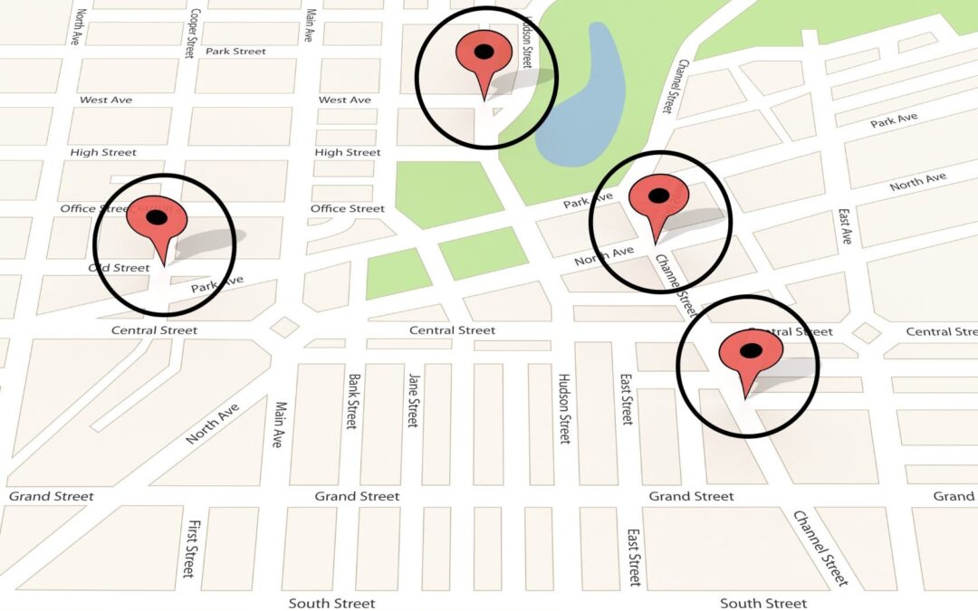
Geospatial and Temporal Data Analysis
Google and other data sources, such as cell phone towers and license plate readers, offer lists of devices, vehicles, and suspects around a specific location and time period.
Known as geofencing, data for a specific geographical area and time period may be retrieved for analysis. This is particularly helpful for law enforcement when people commit crimes while carrying a cellphone that can be used as a tracking device.
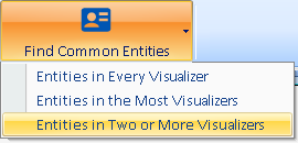
Entities in Two or More Visualizers
Sentinel Visualizer lets you create link analysis diagrams for each incident containing all your suspects. The Multi-Diagram analysis lets you select multiple Visualizer diagrams to quickly identify suspects who participate at all or the most incidents.
Quickly prioritize where to devote your investigative resources.
