Geofencing Analysis to Find
Phones, Devices, and Suspects at Multiple Crime ScenesGeofencing & Temporal Data Analysis
Google and other data sources, such as cell phone towers and license plate readers, offer lists of devices, vehicles, and suspects around a specific location and time period.
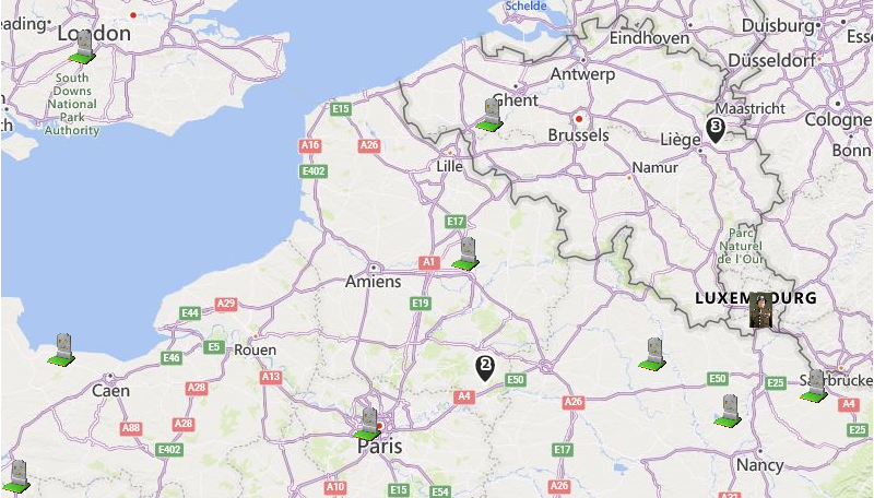
Known as geofencing, data for a specific geographical area and time period may be retrieved for analysis. This is particularly helpful for law enforcement when people commit crimes while carrying a cellphone that can be used as a tracking device.


Managing & Analyzing Crime Scene Data
Electronic surveillance data can be extensive and overwhelming. SentVi uses Microsoft SQL Server as its backend database to import and manage large datasets with cloud support.
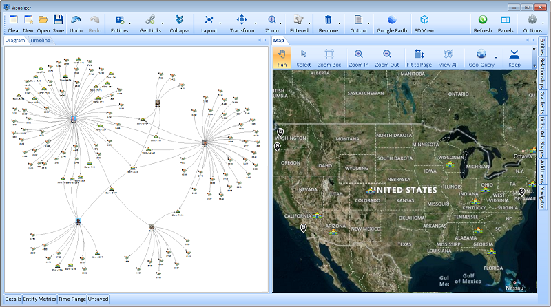
View the information in a link chart, timeline, and map to see all the activity associated with an event. You and your team can combine data from multiple sources and manually add the evidence you collect. Perform analysis to find hidden relationships among your people, devices, places, and events.

Link Chart
Overly Broad Search Warrants
Some judges are ruling that search warrants for Google’s geofencing data are too broad and violate the Fourth Amendment for unreasonable search since most of the data includes activity by innocents. No one disputes that almost all of the Google geofence data or cellphones connected to a cell tower near a crime scene are owned by innocent people.
SentVi can address such concerns by serving as an intermediary between the court’s desire to protect privacy while addressing the needs of law enforcement and public safety.
When used by non-law enforcement personnel under strict guidance, SentVi can manage the large amounts of data, keep the data of innocent parties private, and only share the high value suspects with law enforcement personnel. That’s all that needs to be given to the investigators and helps them by removing most of the noise. This is particularly possible when multiple events separated by location and time exist to identify common entities and eliminate bystanders.
Identifying Suspects Across Multiple Crime Scenes
Compared to the raw data, this is usually a tiny list of suspects that is highly actionable intelligence. Cell phones or license plates at multiple crime scenes that are separated by time and geography are very suspicious. These are high priority targets to invest your limited budget and time for deeper investigations. It should also satisfy the privacy concerns raised by the courts while improving your efficiency.
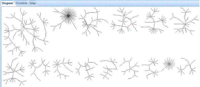
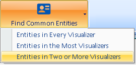
For instance, by selecting five saved Visualizers of similar arsons or assaults in different locations/times, Sentinel Visualizer’s multi-Visualizer analysis quickly generates the list of entities that appeared in all or several of them.

